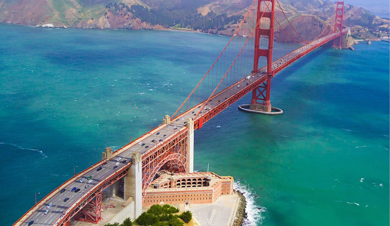
Bay Area locals can expect to continue soaking in the much-needed vitamin D this week, as the National Weather Service forecasts warm, sunny skies with a slight cool down as the weekend approaches. According to NWS San Francisco, a high-pressure system firmly in place means temperatures will hover in the mid 70s to low 80s on Wednesday, although a marine layer could briefly brush the coast with some morning fog before it clears.
However, don't ditch the light jackets just yet. A "weak perturbation translating through the mean westerly flow" is set to slide in by late in the week, cranking up the onshore flow, and dropping temps by a few degrees, especially along the coast, the weather service said. While there won't be enough moisture to bring about any rain, the presence of "more stratus, stronger onshore flow, and cooler temperatures," are on the horizon, starting Friday and carrying into the weekend.
As for those hitting the friendly skies, the flying conditions look mostly clear. One might spot pockets of fog rolling into the North Bay and Monterey Bay early Wednesday morning, but these are expected to dissipate shortly after sunrise. Pilots and passengers should enjoy "widespread VFR" conditions, which essentially means good visibility and safe flying weather, so reports the NWS.
Mariners aren't left out of this week's weather update. It's smooth sailing, with a "ridging continues to dominate, bringing fair weather through much of the week." Still, the NWS has issued some advisories – strong, gusty northwest winds call for a Small Craft Advisory in various locations, which includes a Gale Warning for "Pt Arena to Pt Reyes 10-60 NM." So, while the week begins with calm waters, sailors should watch for that brisk weather to pick up.
On the social media, NWSBayArea's latest post doesn't show much in the way of stratus and fog for now. Yet, should they form overnight, their effect should be minimal with the "marine layer depth varies from a few hundred to 1,000 ft."
Vertical temperature and wind profiler data (latest data on left) from Bodega Bay & Fort Ord. Hardly any stratus and fog so far tonight, if either or both develop tonight it'll be compressed near sea level since the marine layer depth varies from a few hundred to 1,000 ft. #CAwx pic.twitter.com/7Ny4DxY6Vy
— NWS Bay Area 🌉 (@NWSBayArea) April 17, 2024


-3.webp?w=1000&h=1000&fit=crop&crop:edges)