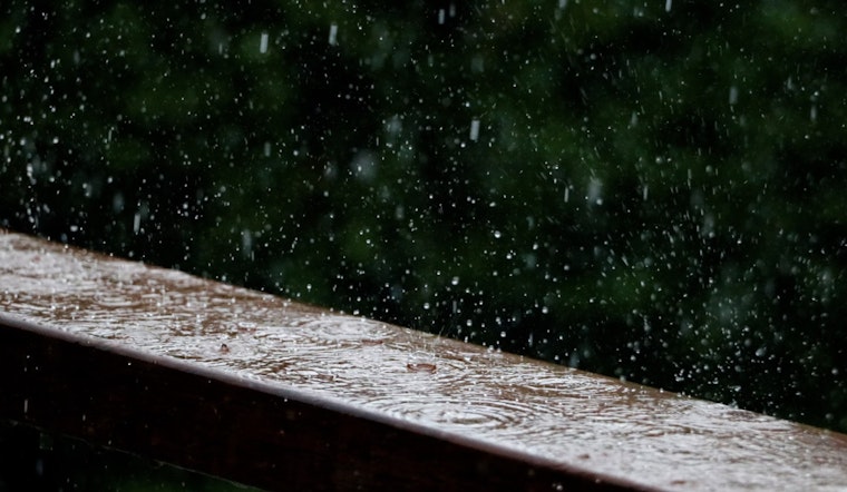
Washington D.C. residents should keep their umbrellas handy this week as the weather forecast predicts an intermittent dance of rain and thunderstorms, according to the National Weather Service (NWS). Today, there's a 40% chance that showers will grace the skies, possibly evolving into thunderstorms after 2 p.m., with a high expected to reach 81 degrees. A patch of morning fog is likely to clear, but clouds will hang mostly thick in the air throughout the day.
For those looking to enjoy a balmy evening outdoors, be prepared to swiftly move to shelter. The skies are set to remain mostly cloudy with a continued 40% probability for showers and thunderstorms tonight, and a low temperature hovering around 65 degrees. The winds, light but steadfast from the southeast, will blow gently at 3 to 5 mph. The NWS advises to certainly expect more rain as showers are likely to continue intermittently into the latter part of the week.
Wednesday's weather seems to offer a slight reprieve during the day with a meager 20% chance of showers and thunderstorms after 2 p.m. Those planning midweek activities should benefit from mostly cloudy conditions gradually giving way to sunshine, and temperatures climbing near a sultry 87 degrees. However, by nightfall, the likelihood of precipitation jumps back up to 50%, so remember to keep your rain gear close by.
Thursday is looking to be the week's wettest day, with the NWS forecasting a strong 90% chance of showers and thunderstorms starting after 8 a.m. With temperatures peaking around a comfortable 80 degrees, a steady south wind will run at 7 to 14 mph and could bring gusts as high as 18 mph that will surely churn up the fallen leaves. This tempestuous weather is predicted to ease slightly by Thursday night, although an 80% chance of rain persists into the early hours. As the weekend approaches, conditions appear to mellow out with partly sunny skies and temperatures cooling to a more moderate 70 degrees by Friday.
After a potentially wetter start, the weekend will gradually shift towards more agreeable weather. Saturday should be mostly sunny with a pleasant high near 69 degrees, and a partly cloudy evening with a low around 53 degrees, a perfect setting for those planning any late-night pursuits. However, the NWS cautions that the respite may be brief as there's a 30% chance of showers both on Sunday and into the night, so outdoor plans may require a backup.
The forecast for early next week looks optimistic with mostly sunny conditions and a high near 75 on Monday, suggesting a more stable weather pattern as residents kick off the new week. For the full forecast, visit the National Weather Service website.


