The chill in the air is set to take a hike as San Francisco Bay Area residents can look forward to a warm-up by the end of this week, according to the National Weather Service San Francisco CA. Sunday morning might still see some leftover showers, but they're expected to peter out, leaving behind brisk but clearing conditions.
The cold front that brought these conditions has jetted down to the CA/Mexico border and will leave most of the Bay Area reaching for extra blankets as temperatures hover in the low 40s away from coastal warmth. "Isolated showers are expected to continue through the morning," as the agency's latest forecast mentioned. By midday, the air will turn too dry for any luckless clouds trying to squeeze out some rain.
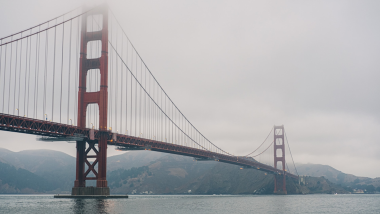
Aviation and marine activities will also face the impact of recent weather changes, with the Monterey Bay region witnessing isolated rain showers and breezy winds that could gust up to 25 knots this afternoon. Even though shower potential remains in play for the morning flyers, particularly for MRY and SNS, VFR conditions are set to dominate through the TAF period for all terminals.
As the early week unfolds, a notable shift in the atmosphere is anticipated. "A significant warming trend is in store this week as an upper level ridge forms over the Eastern Pacific," the NWS explained, promising a steady temperature climb. What started as high 50s in places like Santa Rosa could reach a cozy 84F by Thursday. Coastal areas may remain cool, thanks to a developing marine layer, yet without the threat of significant fog or stratus.
The waters around San Francisco will see their share of changes, too. While isolated showers are on the morning's marine menu, dry conditions will return. On Monday, sailors should brace for a buildup in northerly winds, escalating into strong gales from Tuesday through Wednesday. These winds, courtesy of a pressure build over the Eastern Pacific, are set to whip up significant wave heights and potentially tough sailing through Thursday.


